The process, in full
What tasking a satellite actually involves.
The short version is on the front page. This is the long one: how a target is filed and when it can be revisited, what happens when the sky is in the way, what half a metre per pixel does and does not show, and what you hold at the end of it.
Archive frames from €65 · commissions from €293.81 · Cloud-blocked passes re-tasked free · Full refund if no usable frame in 60 days
01 / Tasking and revisit
A target is a coordinate pair and an area.
A mission begins with an address. It is resolved to decimal degrees and a capture area of roughly a square kilometre is drawn around it — enough to hold the building, the street it stands on and the ground around it. An isolated roof is not a photograph worth hanging; the context is what makes it one.
Those coordinates go to the constellation operator as a collection request. Imaging satellites fly in sun-synchronous orbit: they cross a given latitude at close to the same local solar time on every pass, which is why captures of the same place share the same quality of light.
Revisit interval depends on the constellation and on your latitude — typically one to three days for a specific target, more often towards the poles, less often near the equator. A collection request is not a promise of a frame tomorrow. The satellite has to be in position, the target has to fall inside its off-nadir limit, and the sky has to cooperate.
- Coordinate precision
- 4 decimal places
- Capture area
- ≈ 1 km²
- Orbit
- Sun-synchronous, 98.2°
- Revisit interval
- 1 — 3 days
- Off-nadir limit
- ≤ 25°
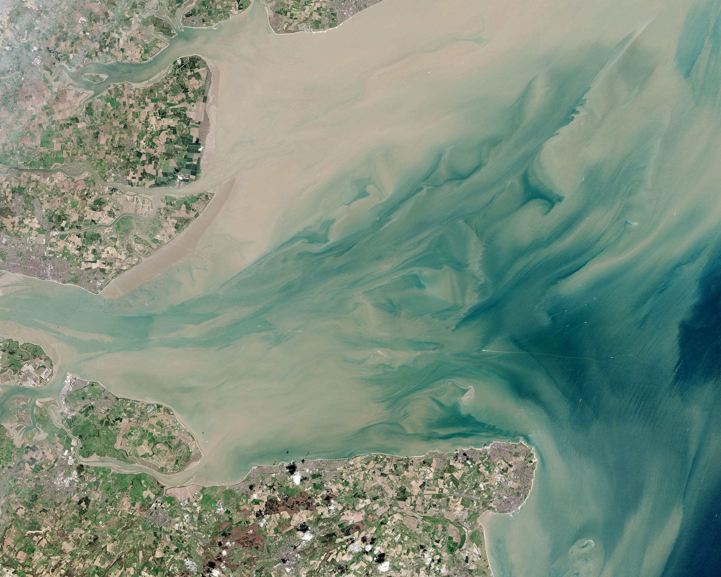
Pass geometry for the frame above: track, inclination and altitude, drawn from the same telemetry that is printed on the sheet.
02 / When cloud blocks a pass
A blocked pass is re-tasked at no cost.
Optical satellites cannot see through cloud. A scheduled pass with cloud over the target returns an unusable frame, and over most of the world that happens regularly. It is the normal condition of the work, not a failure of it.
When a pass is blocked, the mission is re-tasked for the next window automatically. There is no charge for the re-task and nothing for you to do. The attempt is written into your mission file with its cloud percentage, and the mission moves on. We would rather hold a mission open than deliver a photograph of a cloud.
Capture windows normally close within fourteen days. Northern winters, monsoon seasons and permanently overcast coastlines take longer, and if your target is one of them, Mission Control says so in the file rather than letting it go quiet. A mission that cannot be captured within 60 days is closed and refunded in full without you having to ask.
- Capture window
- 7 — 14 days
- Cloud threshold
- ≤ 10% over target
- Re-task on cloud
- No cost
- Attempts logged
- Every pass
- Full refund after
- 60 days
03 / Resolution
One pixel covers about half a metre of ground.
Captures are ordered at approximately 50 cm ground sample distance. Your street reads as your street and your house reads as your house. Everything below is a consequence of that number, not a policy we chose afterwards.
The view is near-nadir: straight down at roofs and ground. This is a portrait of a place, not surveillance of the people in it.
Resolves
- The shape, colour and pitch of a roof
- Extensions, outbuildings and a garage
- The driveway, and parked cars as distinct rectangles
- A pool, a patio, a lawn, individual mature trees
- Lane markings on a wide road
- The street pattern your address sits inside
Does not resolve
- Faces — a person is a mark two pixels across
- Number plates, house numbers, any text on the ground
- Windows, and anything on the other side of one
- Anything indoors, under a canopy or under a tree
- Building facades — the view is straight down, not oblique
- Anything captured obliquely from an aircraft or a drone
Note on the example frames
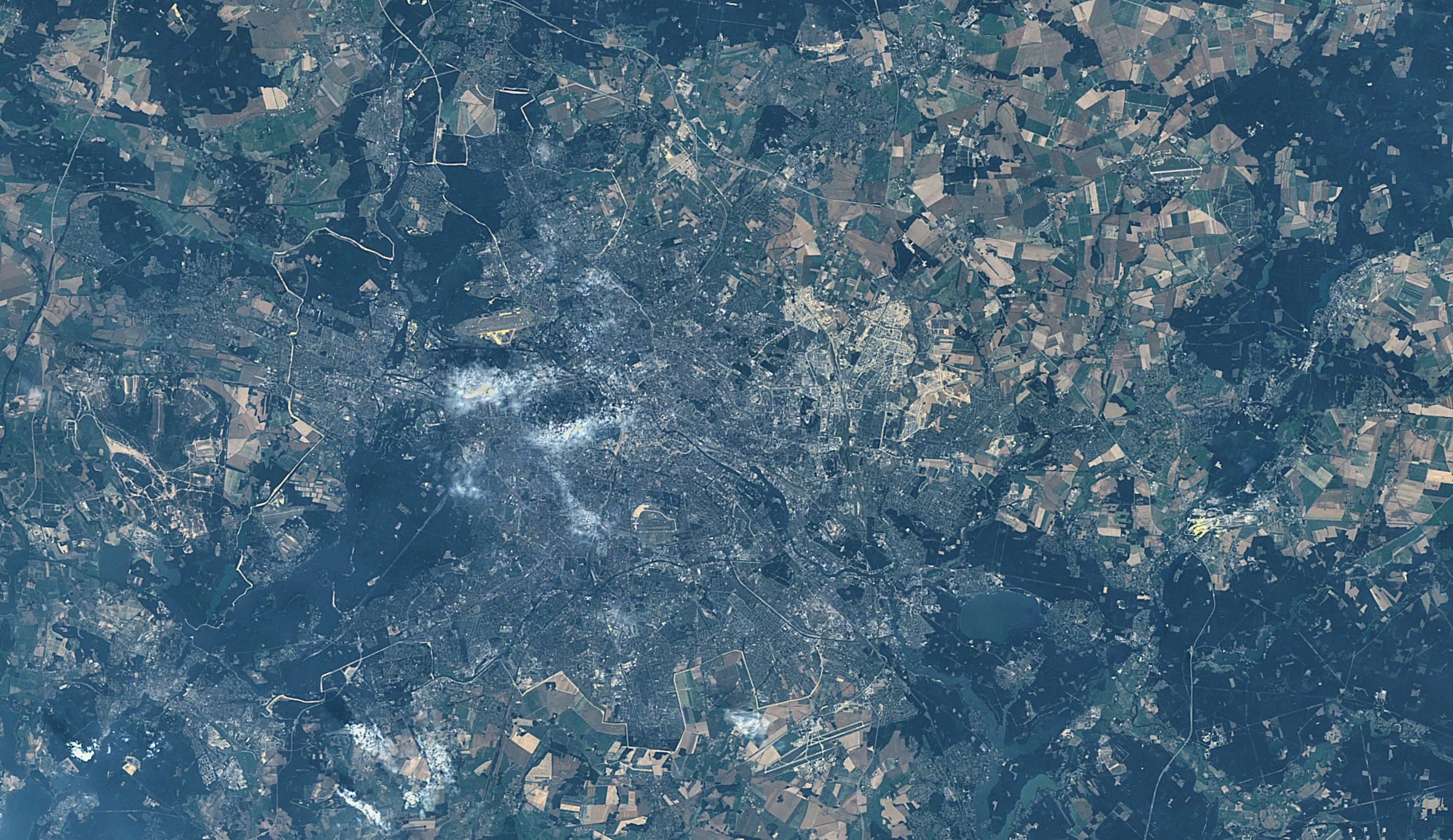
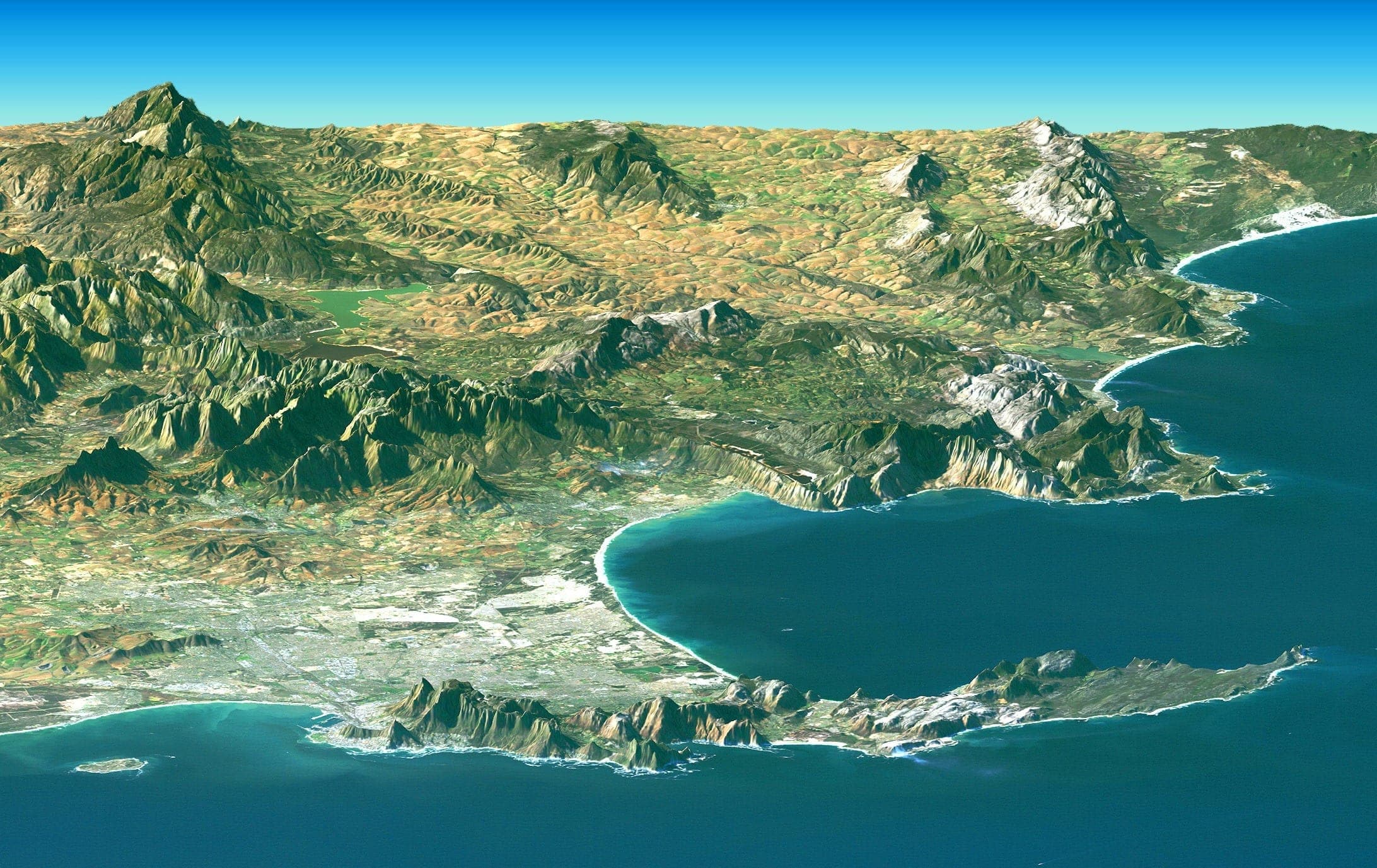
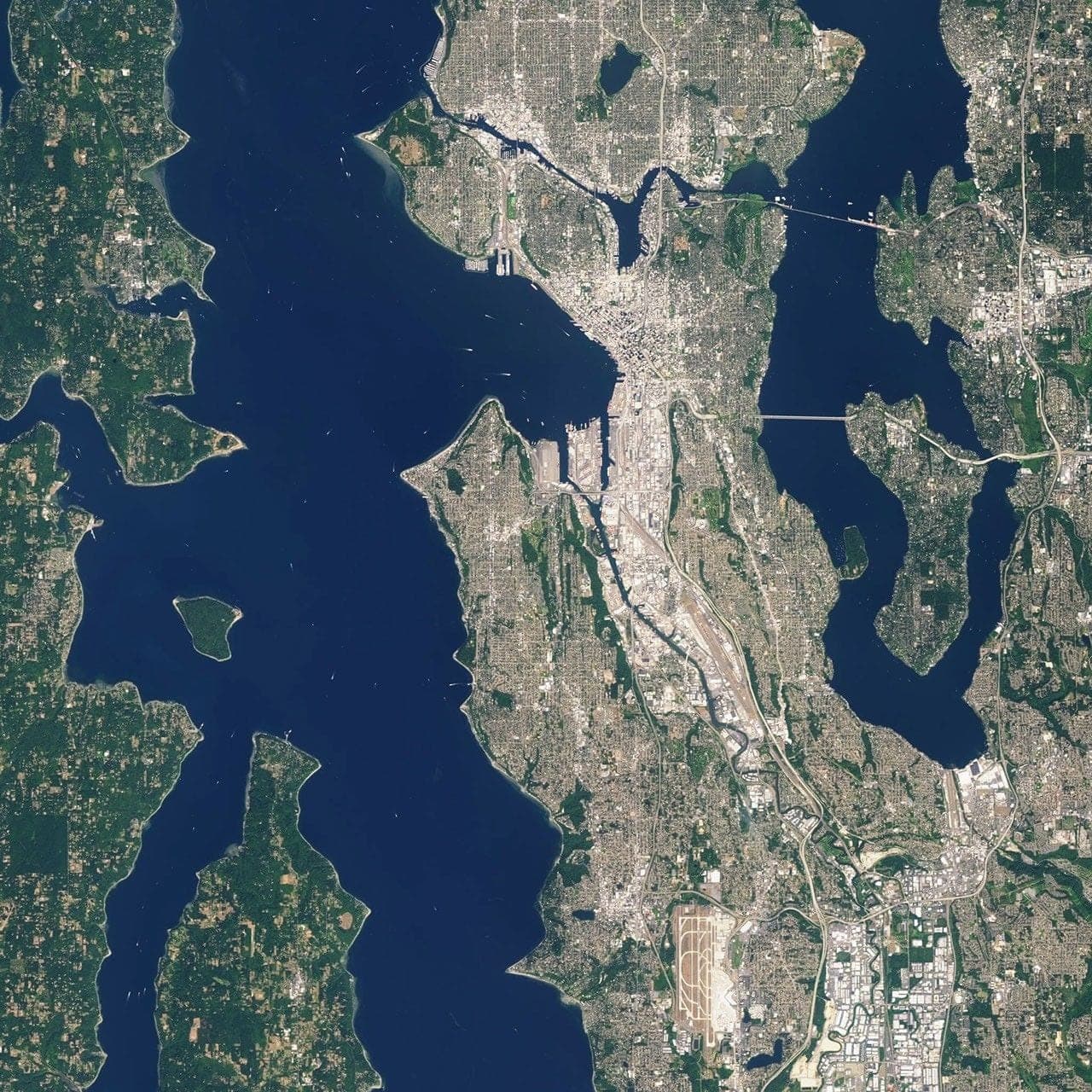
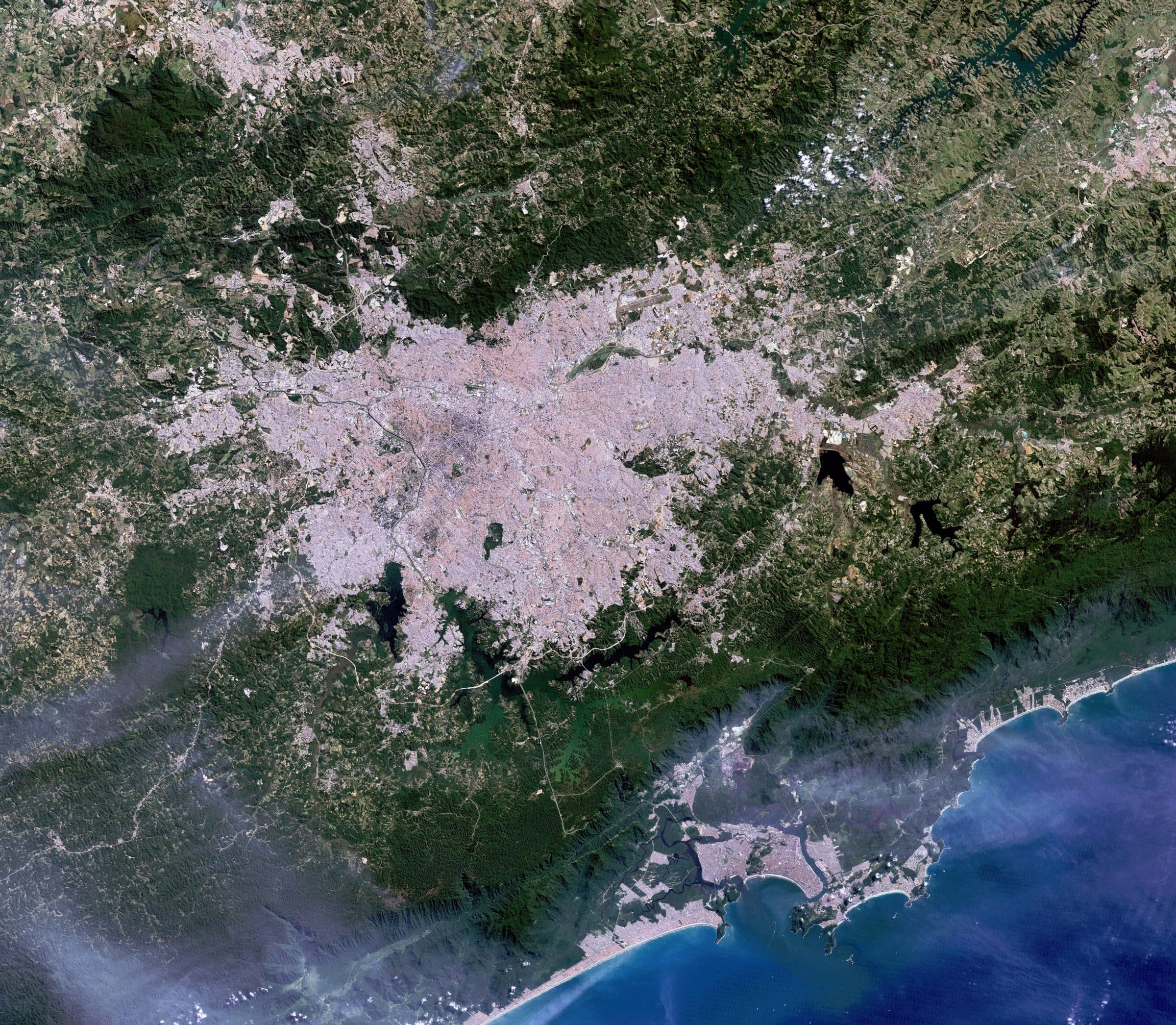
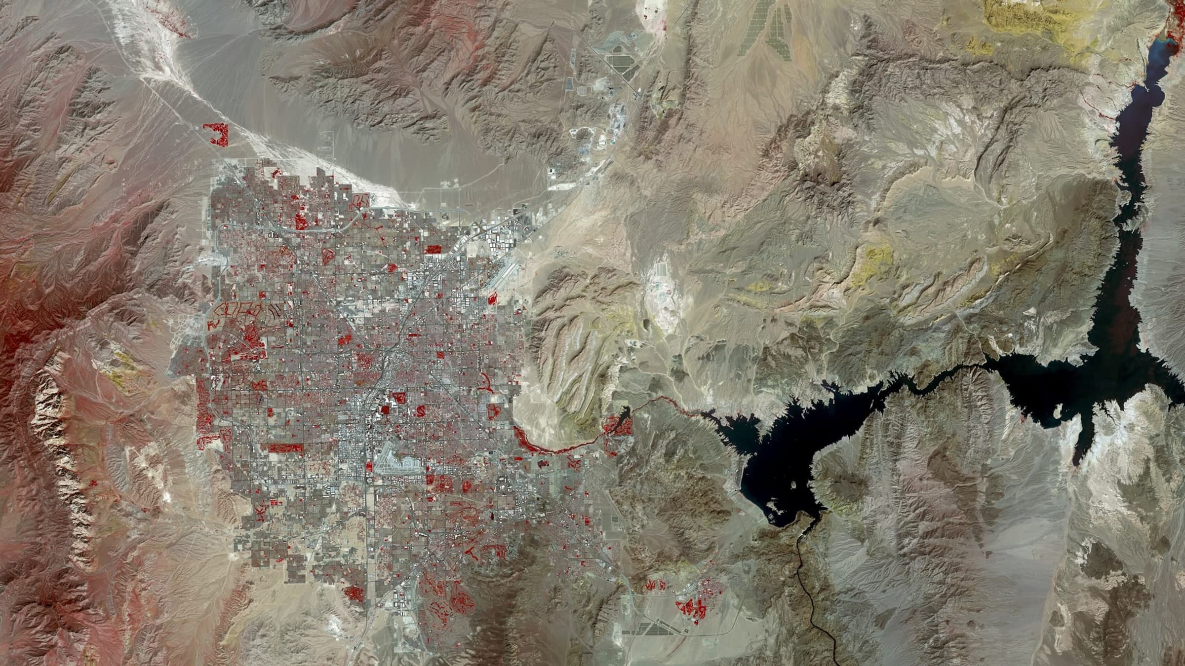
Every example frame on this site is a public-domain Landsat product at roughly 30 m per pixel — a city at a glance. They are here to demonstrate composition and print, not capture resolution. A tasked mission is captured at roughly sixty times finer detail than anything shown on this page.
04 / Composition
The frame carries its own record.
The downlinked frame is graded for print. A raw satellite product is flatter and colder than anything you would want on a wall; grading returns the ground to the colour it had on the day it was photographed, and no further.
Then the capture is set into the print layout. The layout is identical for every mission and is not configurable, which is deliberate. Coordinates in decimal degrees, the capture timestamp, the sensor and orbit track, the mission code and the print credit are laid on the sheet in fixed positions.
Each print reads as one file out of an archive rather than a one-off poster, and two prints of two different addresses hang together.
05 / Print and shipping
Printed in your region, not shipped across the world.
The print file is released to the production facility nearest the delivery address — US / RENO, NV for orders in the United States, EU / EINDHOVEN, NL for orders in the European Union, the United Kingdom and Switzerland. Short transit, no customs surprises, and the print spends days in a box rather than weeks.
Unframed prints are 200 gsm uncoated, matte, and ship flat in a rigid sleeve. Framed prints are 200 gsm uncoated, matte in a black aluminium frame with acrylic (plexiglass) glazing, and ship assembled behind the glazing, ready to hang. The price shown is the price paid: shipping and any import duties are already in it.
Production and delivery take a few days once the capture is approved. The variable in a mission is the capture window, never the printing.
- 30 × 40 CM · unframed
- $337.79 / €293.81
- 30 × 40 CM · framed
- $358.49 / €308.81
- 50 × 70 CM · unframed
- $343.74 / €296.34
- 50 × 70 CM · framed
- $394.53 / €329
- 70 × 100 CM · unframed
- $347.72 / €300.52
- 70 × 100 CM · framed
- $434.50 / €360.49
- Shipping and duties
- Included
06 / Mission control
Every order opens a file.
Each mission gets a code — two digits and two letters — and a file at shot.space/M32BF. From the moment payment clears, that file is the mission: the stage it is in, the tasking record, the capture window, the preview frame the moment it is downlinked, and the print and shipping records.
You can talk to the mission from that page. Mission Control answers questions about your specific capture in writing, and can be put on a voice link if you would rather ask out loud. Every file also carries a read-only share link, so you can send someone the mission without handing over your address or your order.
Nine stages, in order, each one timestamped as it happens:
MISSION CONFIRMED
Order received. Target coordinates locked and queued for tasking.
SATELLITE TASKED
Collection request accepted by the constellation operator.
CAPTURE WINDOW
Satellite passes scheduled over the target. Awaiting clear conditions.
IMAGE ACQUIRED
Frame captured and downlinked. Preview released to this file.
PROCESSING
Colour grade, composition and telemetry overlay applied.
PRINT
Print file released to the production facility.
SHIPPED
Package handed to the carrier. Tracking active.
FINAL DELIVERABLE APPROACHING
Out for delivery. Final deliverable approaching your address.
DELIVERED
Delivered. Mission file closed.
Start here
One address is all a mission needs to start.
Archive frames from €65 · commissions from €293.81 · Cloud-blocked passes re-tasked free · Full refund if no usable frame in 60 days