Mission archive
Every mission ends as a file.
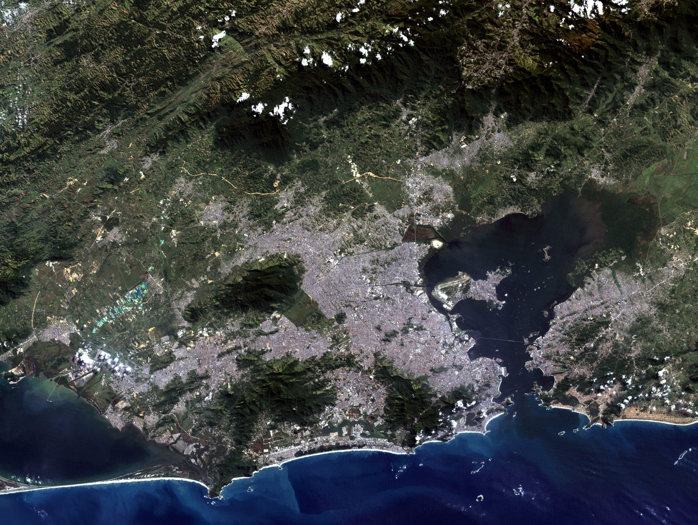
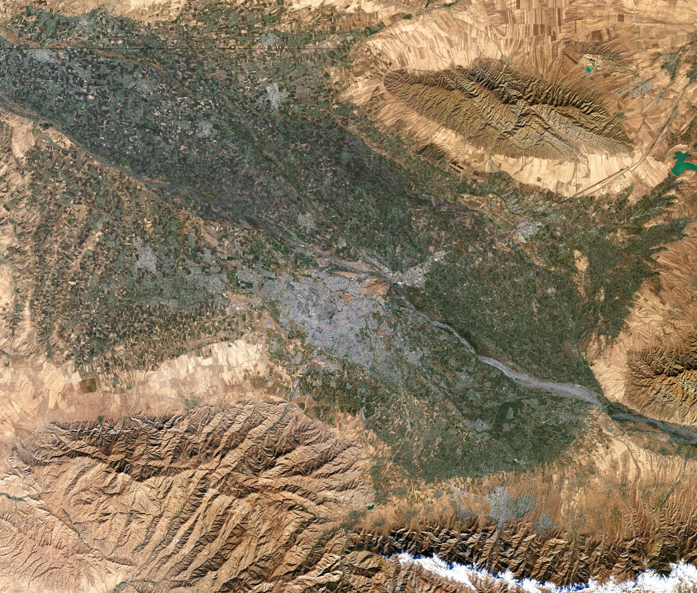
Reference frames from the public Landsat archive, composed exactly the way a customer frame is composed — the same plate, the same mission sheet, the same credit.
Selected frames
Six places, six passes, one archive.
Open any of them and the whole file opens with it: the capture, the observation, the pass geometry and the print it would become.
Overhead now
Eight imaging satellites, and where they are this second.
Live orbital elements, propagated in your browser. These are not the satellites assigned to your mission — tasking is brokered at capture time and the spacecraft is very often none of these. They are simply what is up there, and where.
WorldView-3
Maxar · NORAD 40115
- Sub-point
- 1.14° N 95.21° E
- Altitude
- 616 km
- Speed
- 7.55 km/s
- Inclination
- 97.85°
- Period
- 97.0 min
- Resolution
- 31 cm panchromatic
Sub-metre optical imager. The sharpest commercial optical sensor in orbit.
Commercial tasking · elements 8.9 h oldPléiades Neo 3
Airbus · NORAD 48268
- Sub-point
- 8.36° S 83.85° W
- Altitude
- 629 km
- Speed
- 7.54 km/s
- Inclination
- 97.89°
- Period
- 97.2 min
- Resolution
- 30 cm panchromatic
Very-high-resolution optical imager, tasked in short revisit windows.
Commercial tasking · elements 8.1 h oldCartosat-3
ISRO · NORAD 44804
- Sub-point
- 25.76° S 94.65° W
- Altitude
- 520 km
- Speed
- 7.60 km/s
- Inclination
- 97.42°
- Period
- 94.8 min
- Resolution
- 25 cm panchromatic
High-resolution cartographic imager.
Commercial tasking · elements 7.8 h oldGeoEye-1
Maxar · NORAD 33331
- Sub-point
- 22.77° N 97.83° E
- Altitude
- 682 km
- Speed
- 7.52 km/s
- Inclination
- 98.12°
- Period
- 98.3 min
- Resolution
- 41 cm panchromatic
Long-serving sub-metre optical imager.
Commercial tasking · elements 8.9 h oldSkySat-C11
Planet · NORAD 42987
- Sub-point
- 30.03° N 178.70° W
- Altitude
- 376 km
- Speed
- 7.69 km/s
- Inclination
- 97.45°
- Period
- 92.0 min
- Resolution
- 50 cm panchromatic
One of a smallsat constellation flown for rapid revisit.
Commercial tasking · elements 11.4 h oldLandsat 9
NASA / USGS · NORAD 49260
- Sub-point
- 32.21° N 95.78° E
- Altitude
- 706 km
- Speed
- 7.51 km/s
- Inclination
- 98.22°
- Period
- 98.8 min
- Resolution
- 15 m panchromatic
Open Earth-observation record. The example frames on this site are Landsat.
Open data · elements 23.7 h oldSentinel-2C
ESA Copernicus · NORAD 60989
- Sub-point
- 75.19° N 119.53° W
- Altitude
- 801 km
- Speed
- 7.46 km/s
- Inclination
- 98.57°
- Period
- 100.6 min
- Resolution
- 10 m multispectral
Open multispectral survey on a five-day global revisit.
Open data · elements 12.1 h oldTerra
NASA · NORAD 25994
- Sub-point
- 65.11° N 130.83° W
- Altitude
- 701 km
- Speed
- 7.51 km/s
- Inclination
- 97.93°
- Period
- 98.6 min
- Resolution
- 15 m (ASTER VNIR)
Flying since 1999. The long baseline every newer sensor is compared against.
Open data · elements 8.1 h old
Orbital elements published by Orbital elements, fetched directly and refreshed every three hours. Positions are SGP4 propagations of those elements, computed in your browser, not telemetry: no one is downlinking to this page. The oldest element set shown was fitted 23.7 h ago, and accuracy degrades as that age grows.
Archive index
Open one and you are reading the whole file.
Coordinates, sensor, pass geometry, cloud cover at capture, the written observation and the source it came from. Every file is composed the way a customer’s own frame is composed. The only thing missing is your address.
- Files on record
- 13
- Countries
- 10
- Resolution
- 30 m GSD
- Capture window
- 31.07.1986 — 2023
- Source
- NASA / USGS Landsat
- Classification
- Declassified
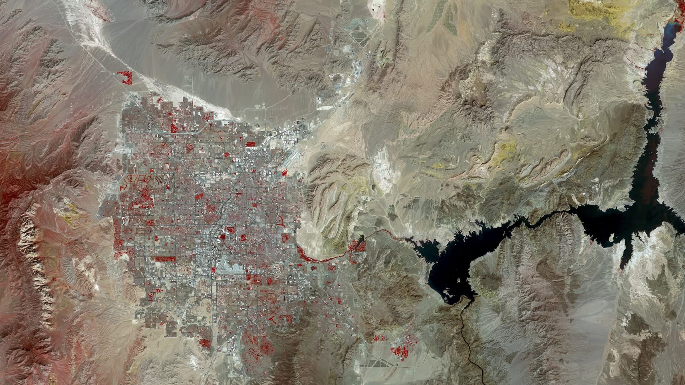
Most recent capture
Las Vegas, United States
Las Vegas spread across the floor of the Mojave, the valley ending in a hard line where irrigated development meets bare desert. The Strip runs as a straight bright axis through the middle of the basin, and Lake Mead sits off the eastern edge of the built area.
Open the file
Filed under Americas
Earlier captures
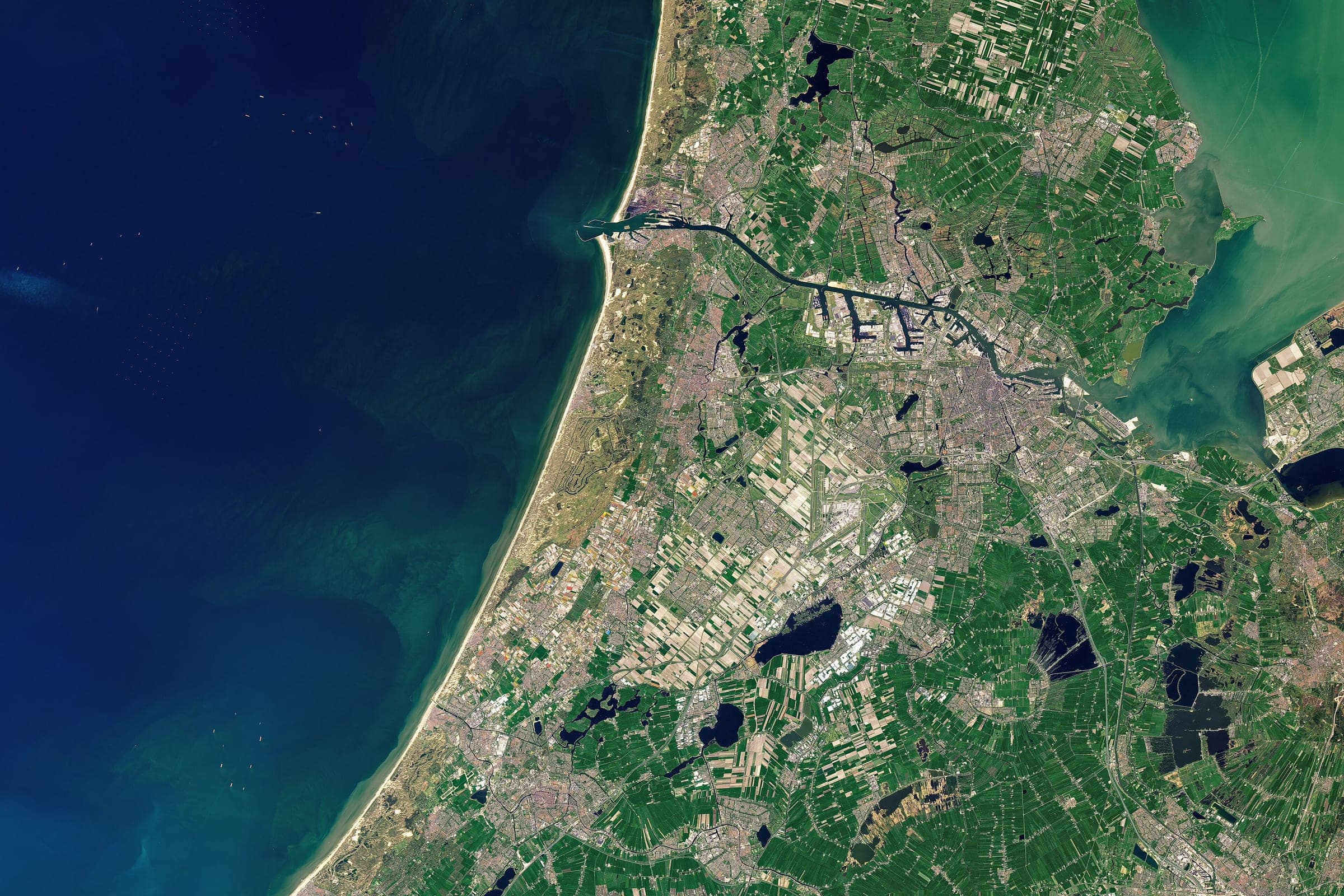
- 84VNLisseEurope52.26, 4.56
- 75TESamarkandAsia39.63, 66.97
- 54ANSeattleAmericas47.61, -122.33
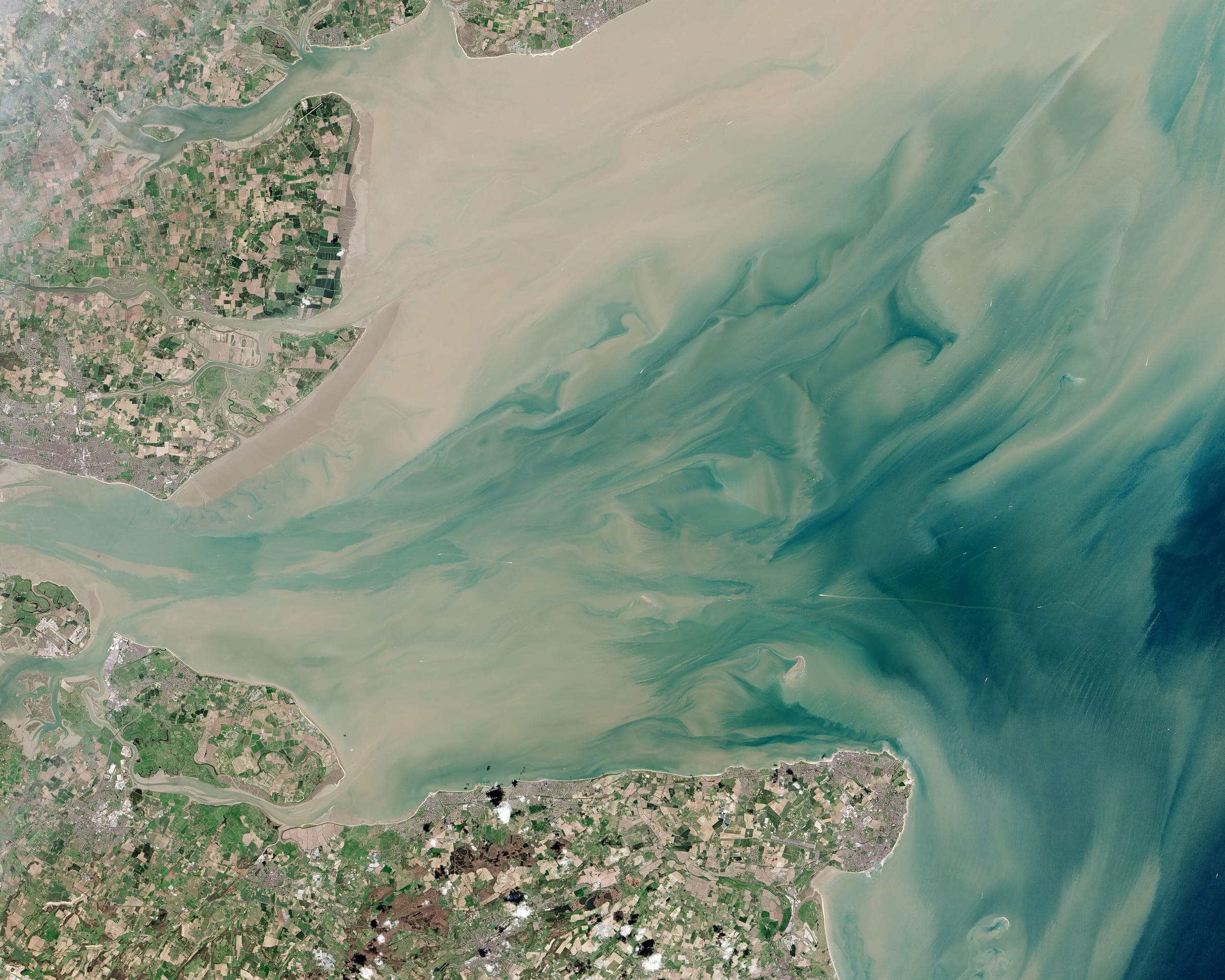
- 78UNThames EstuaryEurope51.50, 0.74
- 32QLBuenos AiresAmericas-34.60, -58.38
- 21GXRio de JaneiroAmericas-22.91, -43.17
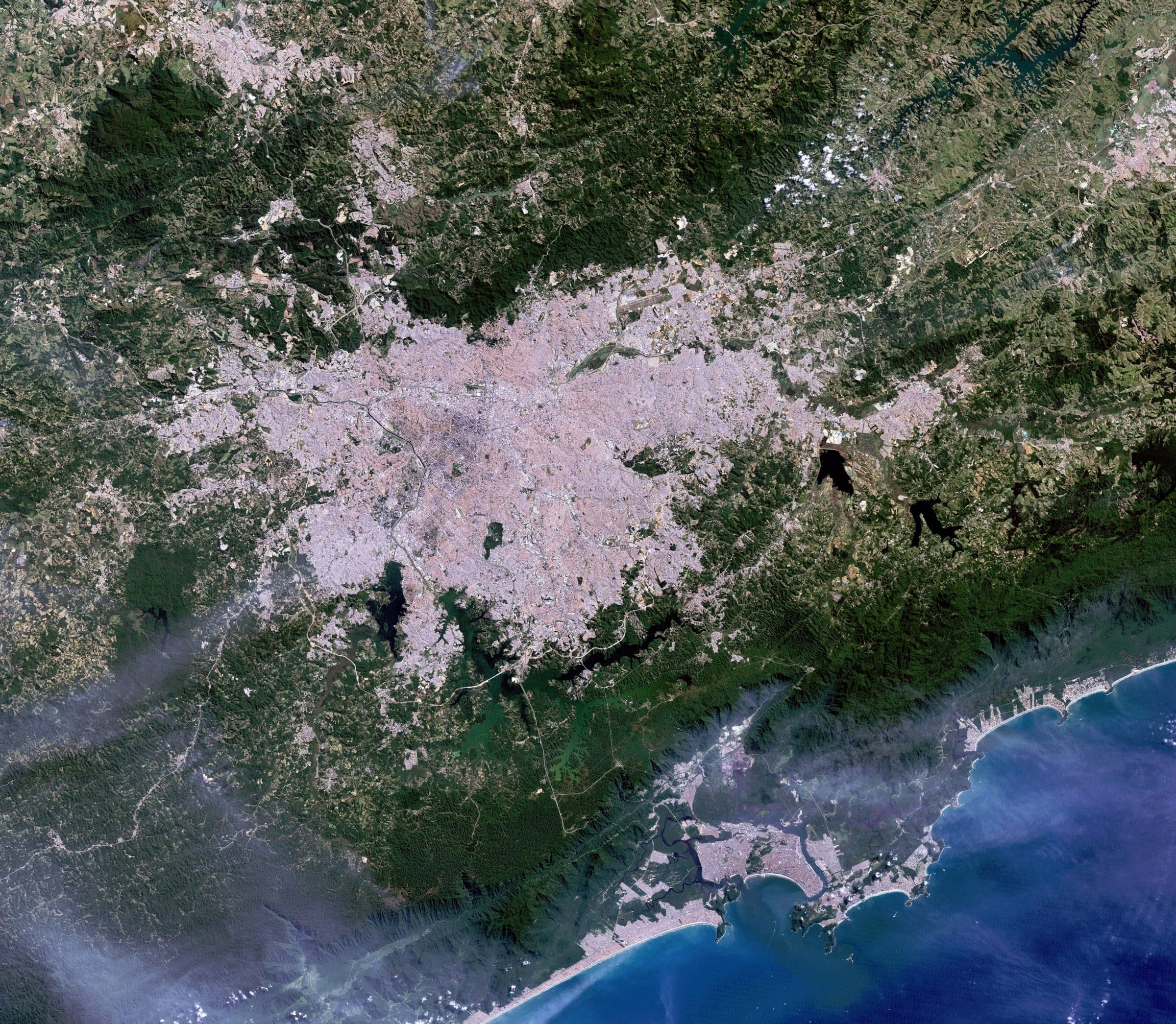
- 35NFSão PauloAmericas-23.55, -46.63
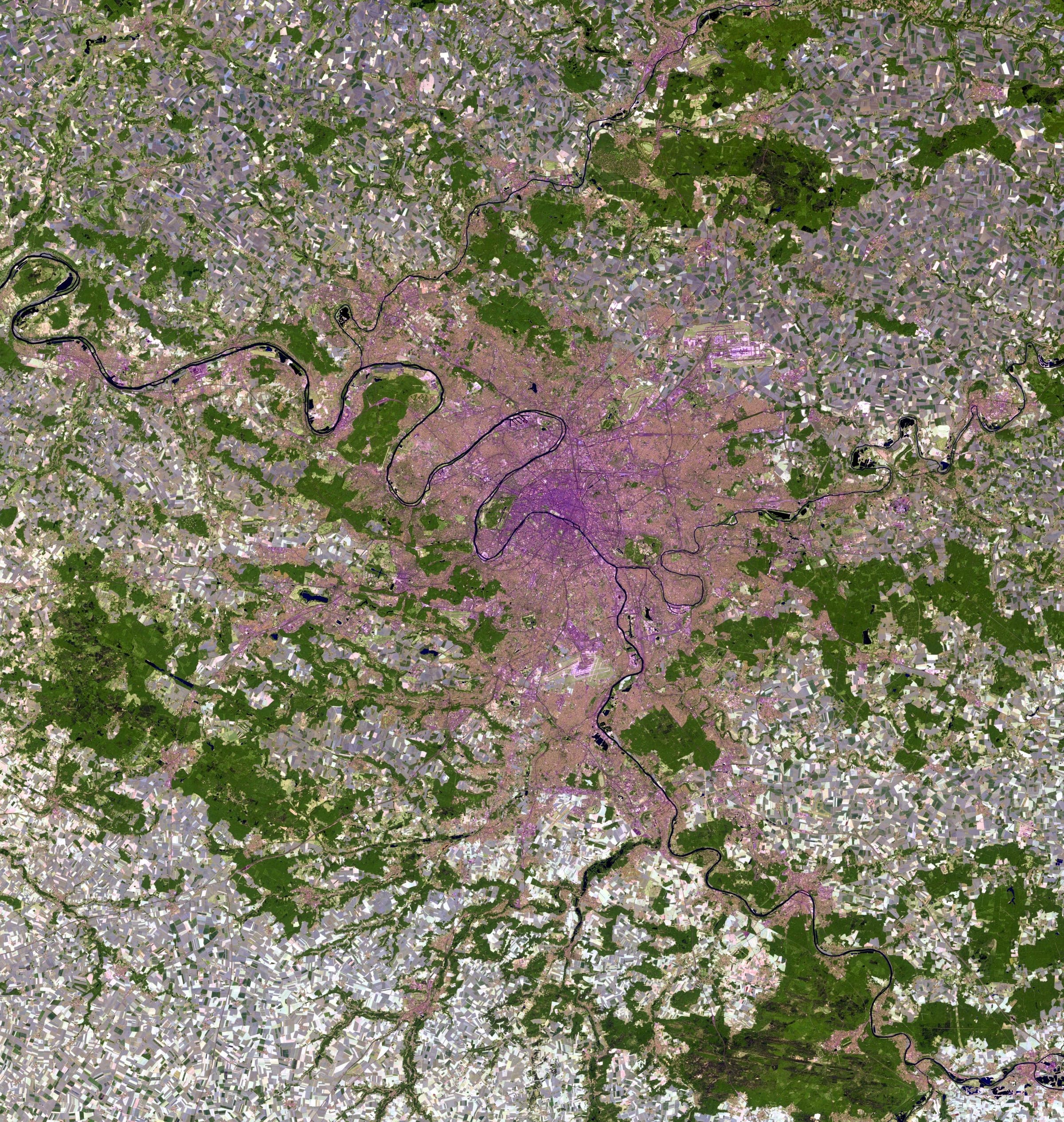
- 91CSParisEurope48.86, 2.35
- 22KELos AngelesAmericas34.05, -118.24
- 30USLena DeltaAsia72.50, 126.50
- 23QZBerlinEurope52.52, 13.40
- 81TACape TownAfrica-33.92, 18.42
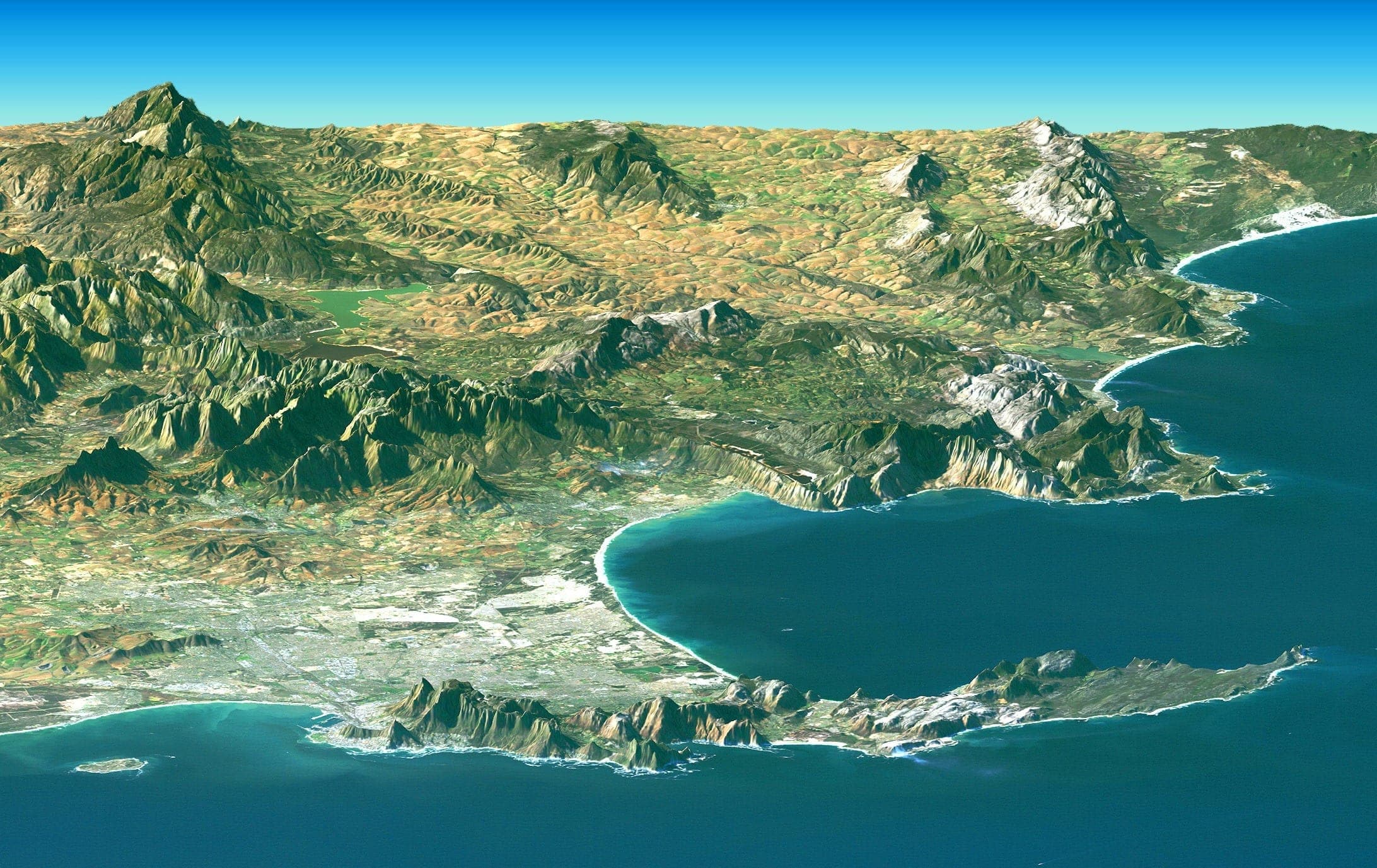
Cape Town — filed under Africa
DATE NOT STATEDMission lookup
Open a live mission file.
A running mission has its own file, updated as the satellite is tasked, the frame is acquired and the print ships.
No code yet. A mission starts with an address and ends with a framed photograph of it, taken from orbit.
Start a mission