MISSION 23QZ
Berlin, Germany
LANDSAT-5 / TM · DECLASSIFIED
Frame detail
MAG ×1.75 — 30 M GSDObservation
What the pass recorded.
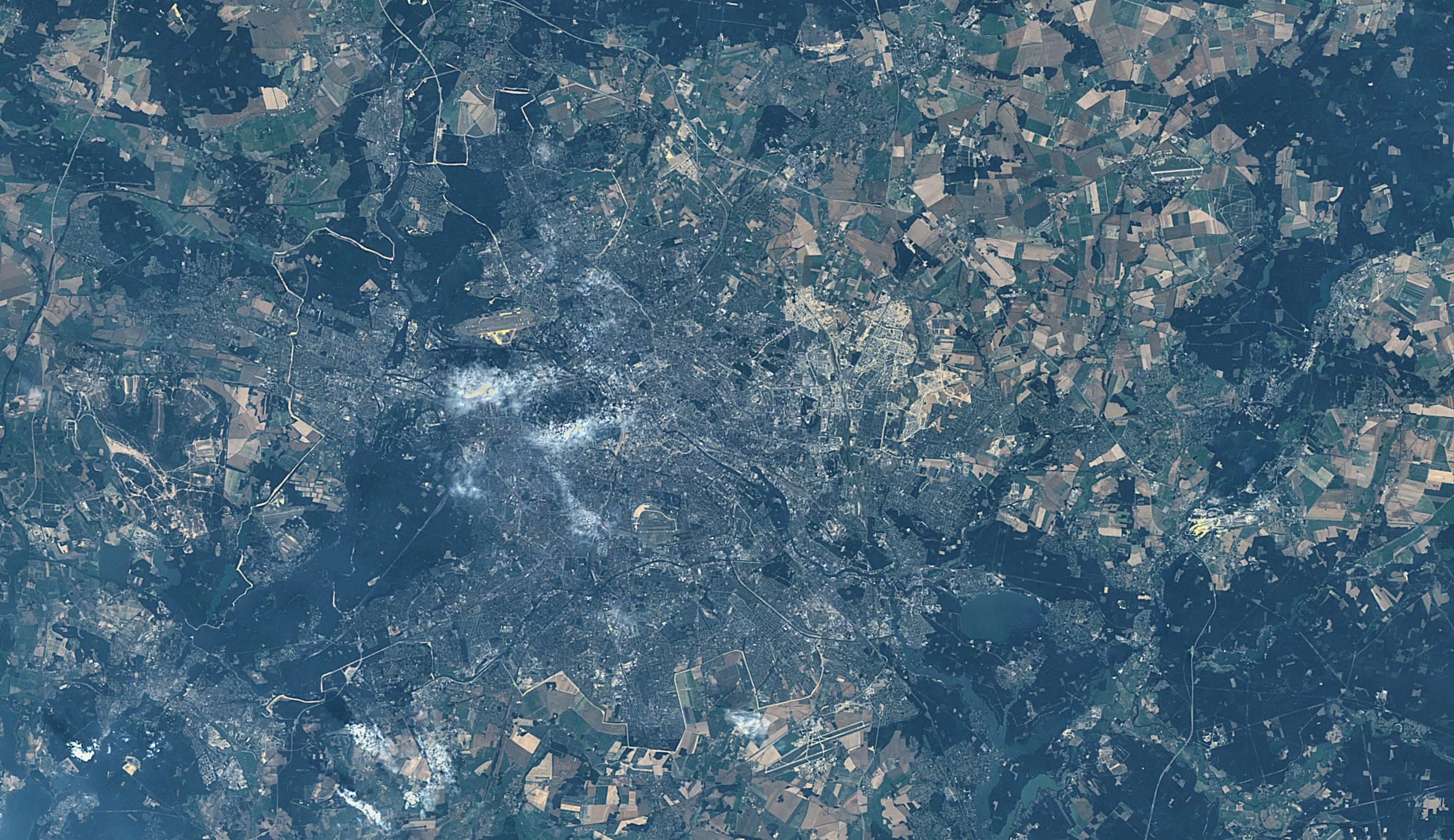
Berlin sits in a ring of lakes and pine forest, the Havel widening to the west and the Spree threading through the centre. Past the built edge the Brandenburg plain resolves into a mosaic of field blocks and managed woodland.

Telemetry
As flown.
The pass that produced the frame above, as it was recorded: where the sensor was, what it was pointed at and what the sky was doing at the moment of capture.
- Coordinates
- 52.5200, 13.4050
- Position
- 52.52° N / 13.40° E
- City
- Berlin
- Admin area
- Brandenburg
- Country
- Germany
- Captured
- 31.07.1986
- Sensor
- LANDSAT-5 / TM
- Altitude
- 705 km
- Ground sample
- 30 m
- Pass azimuth
- 112°
- Off-nadir
- 6.4°
- Cloud cover
- 4%
Composed by the same pipeline that produces the print file: the capture above, the mission sheet below. Shown watermarked, at preview resolution, in a display mount.
Deliverable
How it would be printed.
Standard issue. Street grid stays legible.
- Format
- 50 × 70 CM
- Imperial
- 20 × 28 IN
- Ratio
- 5:7
- Finish
- Unframed
- Print facility
- EU / EINDHOVEN, NL
Source
This reference frame is a public-domain NASA / USGS Landsat product. It stands in for a customer capture, which is tasked commercially and delivered at higher resolution.
- Credit
- Berlin 1986 07 31
Tasked across commercial imaging constellations
- PLANET
- VANTOR
- SATELLOGIC
- ICEYE
- UMBRA
- GEOSAT
Set in type, not in marks. The operators above are constellations reachable through our tasking network; none of them is a partner of Shot from Space and none endorses it. Frames shown on this site are reference imagery for positioning, not operator captures — see the imagery credits.

End of file
This frame was already taken. The next one is tasked for you.
Give an address and a satellite is scheduled over it. The frame comes back composed with its own mission sheet, printed on the continent you live on and shipped as a finished object.
Start a missionMissions from €65 · Shipping and duties included · Full refund if no usable frame in 60 days